Surveying
Surveying
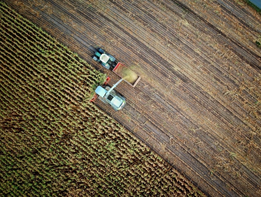
Using data collected from UAVs, Vission Technology produces highly accurate aerial photos and 3D models to assist in many different business areas. We leverage our expertise in aerial photography, LiDAR and data analytics to provide total survey solutions.
is the Future
Unmanned aerial systems (UAS) and 3D data acquisition tools are undergoing some of the most notable innovations right now. Moving forward, we should see the same kind of remote sensing technology permeating our vehicles, airplanes and spacecraft.
450 SW Marine Dr Floor 18,
Vancouver, BC V5X 0C3
Phone: 604.370.5198
Email: gis@vission.ca